Description
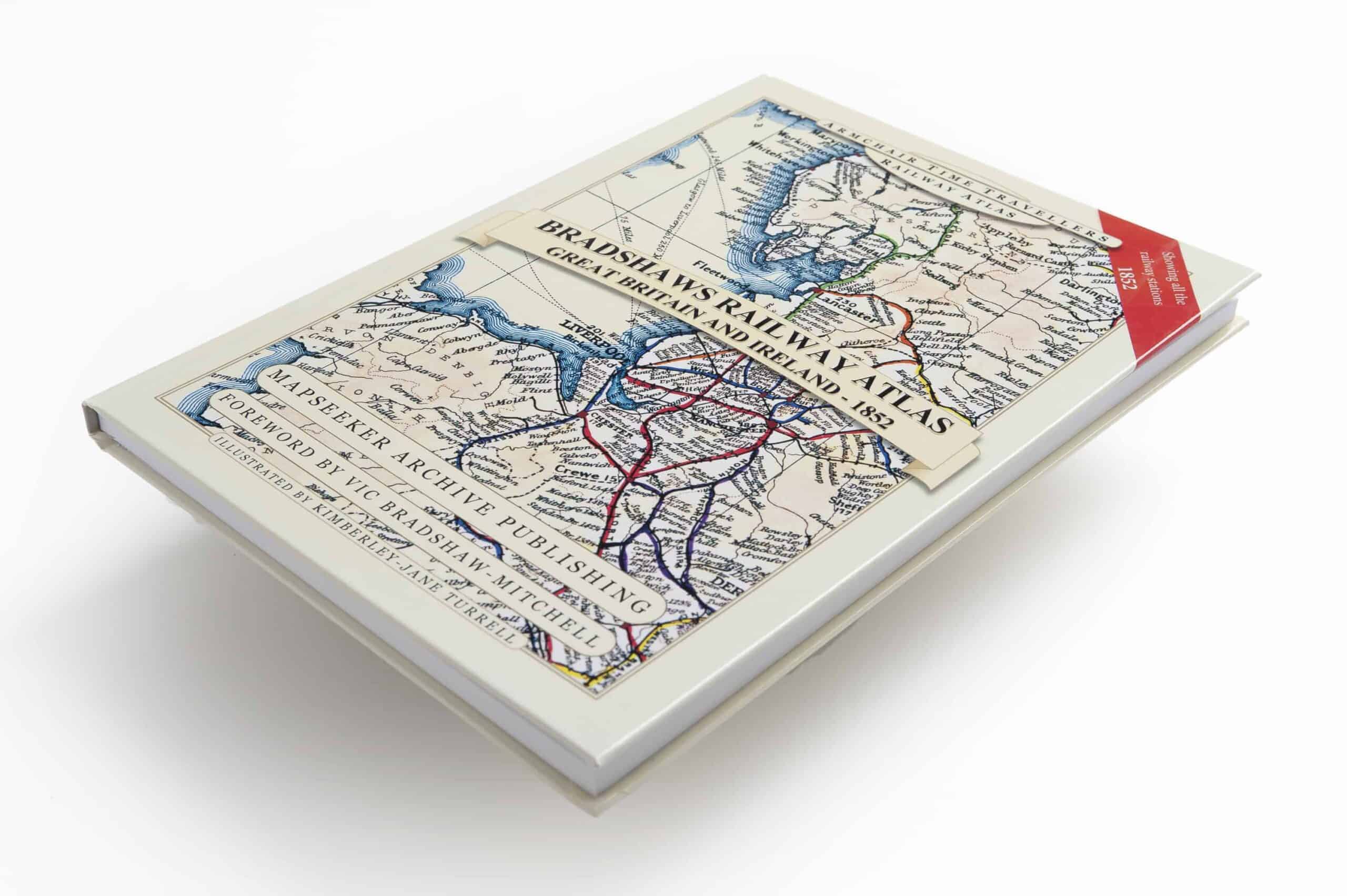
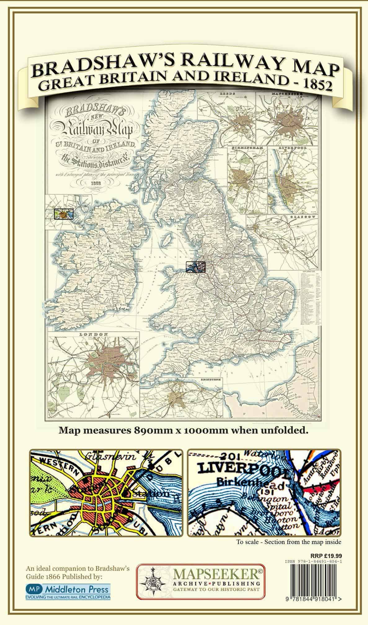
The Railway Atlas of Great Britain 1852 has been created as a tribute to the work of George Bradshaw (1801-1853), and as a visual accompaniment to the recently re-published “Bradshaw’s Guide”. His legacy of exquisitely detailed historic railway maps lovingly reproduced in this atlas now enable today’s reader to retrace journeys once travelled by our mid 19th century ancestors. These journeys have been enriched in this atlas with views and vistas from a time when train travel was at its height – the golden age of the railway – and his railway maps and guide books were bursting with pride about them. In addition to the railway map the atlas contains all of the John Tallis British town plans from 1851, showing the arrival of the railways into the major cities and towns. At the back of the book there is an extensive index to railway stations featured in the atlas that is cross referenced to the page in Bradshaw’s guide book where it is described, making it the perfect accompaniment to the popular railway guide itself.


Reviews
There are no reviews yet.