


Description
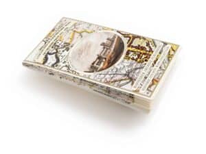
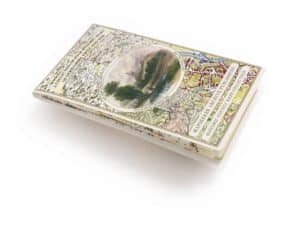
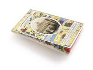
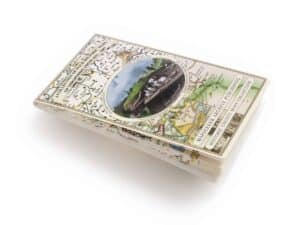
This folded map (890mm x 1000mm when unfolded) is an ideal souvenir for tourists to Shropshire and also a valuable reference resource for local and family history research. It includes 4 Historic maps of Shropshire, John Speed’s County Map of Shropshire 1611, Johan Blaeu’s County Map of Shropshire 1648, Thomas Moule’s County Map of Shropshire 1836 and a Map of Shropshire detailing the route of the Severn Vale Railway 1889. All the maps have been meticulously re-produced from antique originals and printed on 90 gsm “Progeo” paper which was specially developed as a map paper. It has high opacity to help reduce show through and a cross grain giving it greater durability to as the map is being folded.
Reviews
There are no reviews yet.