

Description
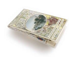
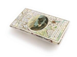
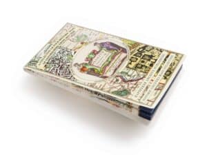
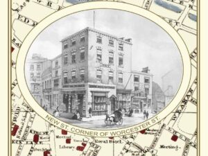
This is a detailed Street Plan and Street Index of Birmingham from the late Georgian Period. The plan is surrounded both side with fascinating sketches of early 19th century Birmingham buildings. The map folds out to a large 1000mm x 890mm size that is sharp and legible, ideal for family history research. The map has been meticulously re-produced from the antique original and printed on 90 gsm “Progeo” paper which was specially developed as a map paper. It has high opacity to help reduce show through and a cross grain giving it greater durability to as the map is being folded.
Reviews
There are no reviews yet.